FRIDAY, SEPTERMBER 23, 2022
F-1: A Primer on UAVs for Geological Research, Rachel Lee – Limit 15 attendees
The trip will begin at the Sterling Nature Center in Cayuga County, NY at 2:45PM, with the drone demonstrations at McIntyre Bluff from 3-4PM. 43°22’39.87″N; 76°39’28.05″W.
A significant portion of the southern shoreline of Lake Ontario is composed of glacial till, which is highly susceptible to weathering and erosion. Intense erosive forces in the Great Lakes region, such as lake effect rain and snow events, freezing and thawing of the ground, intermittent rises and falls in lake level throughout the year, and high winds, all significantly alter the shoreline on a regular basis. Areas such as Chimney Bluffs State Park and Sterling Nature Center (home of McIntyre’s Bluff) are open to the public year-round, and offer unparalleled perspectives of the unique Lake Ontario shoreline. Continued monitoring of erosional rates at these bluffs provides valuable information to those maintaining the existing foot trails and habitats, and will help establish strategies for creating new infrastructure. Unexpected mass failures of these cliffs can cause weeks to months of inaccessibility until trails are cleared and are deemed safe for pedestrian traffic, and can also irrevocably damage sensitive habitats. Identification of high-risk areas along the bluffs through long-term monitoring may reduce the frequency of unexpected collapses and may help to better mitigate or prevent damage and closures altogether.
On this trip, we will examine and discuss the erosional processes at McIntyre’s Bluff, and will learn how to use a DJI Mavic UAV to collect imagery of the bluff. We will also see how UAV imagery has been used to create 3D models of the bluff surface in order to quantify the erosion. Participants will also be able to fly the UAV if desired.
SATURDAY, SEPTEMBER 24, 2022
A-1: The Salt of the Earth and The Soul of the Silurian Sea: The Upper Silurian Syracuse Formation and Adjacent Formations in Central New York State, Jon Fox – Limit 50 attendees.
The trip will begin at 8:30 AM at Shove Park, Town of Camillus, Onondaga County, NY, Coordinates: 43° 2’21.13″N, 76°15’6.91″W.
The Syracuse Formation is a sedimentary formation within the Upper Silurian Salina Group in the northern Appalachian Basin and contains siliciclastic, carbonate, and evaporite lithologies. Considerable attention has been paid to this formation in the past based on the occurrence of economic quantities of rock salt (halite) and gypsum, which are of significant importance to the historical and economic development of the region. While considerable attention has been paid to the occurrence and distribution of halite and gypsum, less attention has been paid to the sedimentary petrology, geochemistry, and paleontology of the carbonate and siliciclastic lithologies within the Syracuse Formation. The same is generally true for the underlying Vernon Formation and the overlying Camillus Formation. The general softness/lack of resistance of these lithologies to the processes of mechanical and chemical weathering, coupled with the relatively low topographic relief in the central New York outcrop belt, have collectively resulted in limited numbers of (and quality of) rock outcrops available for study. The goal of this field trip is to provide participants with an opportunity to visit a few of the more accessible outcrops remaining in central New York State to provide a general introduction to the lithological and paleontological characteristics of these fascinating formations. We will also stop at Cargill’s Cayuga Salt Mine, a currently active salt (halite) mine located near Lansing, New York, to receive a presentation from the mine’s manager (Mr. Shawn Wilzynski) and his staff regarding the mine’s geology and operations. Cargill’s presentation will be at the surface and we will not be visiting the subsurface portion of the mine during this field trip.
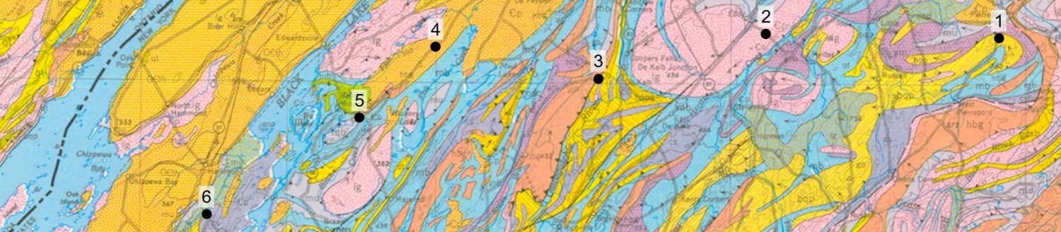
A-2: Igneous and metamorphic rocks of the Black and Moose River Valleys, western Adirondack Highlands, New York, Robert Darling – Limit 30 attendees.
The trip will begin at 8:30 AM at the parking lot of the Edge Hotel, Route 12, Lyons Falls, NY. The Edge Hotel is located 40 miles north of Utica on Route 12. Meeting Point Coordinates: 43.6217°N, 75.3717°W. Field trip limit of 30 attendees.
This trip will focus on middle Proterozoic metamorphic rocks on the western edge of the Adirondack Highlands. We will observe both meta-igneous and meta-sedimentary lithologies and discuss their origin. Included in this trip are visits to the Port Leyden nelsonite, Ordovician-age spheroidal weathering at the Knox unconformity along Roaring Brook, two-pyroxene amphibolite at Lyons Falls, hydrothermal quartz + sillimanite veins and pegmatite at Lyonsdale, and lastly, peritectic prismatine at Moose River.
A-3: TRIP CANCELED The Piseco Lake Shear Zone: A Shawinigan Cryptic Suture in the Southern Adirondack Mountains, New York, Dave Valentino & Jeff Chiarenzelli – Trip will start in Speculator, NY at 9:30AM at the Charlie John’s parking lot. There will not be a stop to purchase provisions, so arrive prepared. All are welcome including large student groups. No limit.
This trip is a regional traverse across and through the Piseco Lake shear zone. The trip will begin by looking at lithologies and structures to the north of the zone within the mixed metasedimentary lithofacies of the southern Adirondacks. Moving south and west, moderate to high-strain granitoids will be examined including domains of excellent mylonite, and well developed L-tectonite. The trip will conclude at the western limit of the Adirondacks in the town of Ohio where the shear zone is dominated by map-scale L-tectonite domains that are mantled by more typical L-S mylonite. The chemistry and geochronology of these rocks will be discussed, along with the tectonic significance of the Piseco granitoid suite and the structure. The geology will be presented at all academic levels, so group of students from any college geology course are welcome, but there won’t be any fossils except for the trip leaders.
A-4: Outdoor Earth Science- A geological/ecological nature trail for students of all ages, Nick DiFrancesco – The field trip will begin at 10AM at the Rice Creek Field Station parking lot (43°25’48.54″N; 76°32’57.46″W) – Limit 50 attendees.
Rice Creek Field Station is a nature preserve adjacent to SUNY Oswego’s main campus. At the northern edge of the preserve there is a large drumlin, one of hundreds to the south of Lake Ontario in central/western NY. These drumlins are essentially large piles of sediment formed during the last Ice Age. A network of trails runs over and around the drumlin, allowing hikers to explore the terrain shaped by glacial activity, as well as evidence of other geological processes, materials, and formations. In collaboration with Oswego High School faculty, students, and undergraduates at Oswego State, we have constructed an educational geologic walking tour of Rice Creek Field Station for students and the public at large to learn more about natural processes affecting the landscape of Central New York. Participants will learn about the geologic history of the area, with emphasis on current research studying the transport of sediment southward, from points north by advancing glaciers- topics such as sedimentation, hydrology, mineralogy, petrology, and geomorphology will be discussed and demonstrated. Topics discussed will be suitable to educators who wish to develop a similar exercise for their students from primary through undergraduate levels.
SUNDAY, SEPTEMBER 25, 2022
B-1: TRIP CANCELED Detrital Zircon Geochronology of the Adirondack Lowlands, Jeff Chiarenzelli, William deLorraine, Erken Torman and Marion Lupulescu – Limit 30 attendees.
The trip will start at 9 am at the US Post Office parking lot on Main Street in Richville, NY (44°25’2.88″N, 75°23’28.40″W).
This day long trip will involve a tour of sample sites for which detrital zircon geochronology is available and a discussion of the results obtained. Stops will include quartzose samples from throughout the stratigraphic succession including the turbiditic sequence at Pyrites, NY, sandy and tourmaline-rich intervals in the Lower marble, and base, middle, and top of the Upper Marble. The data collected to date has important implications for the timing of the deposition of pre-Grenvillian metasedimentary rocks, likely basement rocks, shifting provenance in response to tectonism, the events leading to the formation of the world-class Pb-Zn sedimentary exhalative deposits, and the timing of metamorphism.
B-2: Eastern Lake Ontario Dune-Wetland Complex from the Pleistocene to Today: Laurentide Ice Sheet Deglaciation, Shoreline Evolution and Modern Human Geoecology, Roy Widrig, New York Sea Grant – Trip will start at 9AM at the Black Pond Wildlife Management Area (43°48’7.66″N; 76°13’26.64″W). Attendees should be prepared to walk on loose sand for most of the field stops, and should pack provisions for lunch. Limit 25 attendees. Car pool will be necessary due to tight parking at some stops.
Field trip will focus on the history of Laurentide Ice Sheet deglaciation in the Great Lakes region, subsequent formation of the modern Great Lakes shoreline, and the past 12,000 years of coastal geological and ecological processes. Field trip locations will show Pleistocene-to-Anthropocene dune evolution and the dynamic coastal morphology along the eastern Lake Ontario Dune Complex, and the geological, ecologic and human processes that sustain these unique landforms, as well as those that work in detriment to their conservation. Stops will include Sandy Island Beach State Park, Deer Creek Wildlife Management Area, Black Pond Wildlife
Management Area.